About Me

Kuala Lumpur, Malaysia
I am married to my loving husband for more than 45 years now. I am a mother to 3 beautiful children, until years ago when I lost my youngest son. Since then my life is forever altered but yet unbroken....

Monday, 30 April 2018

04 Caucasus: Akhaltsikhe, Georgia - Gyumri/Yerevan, Armenia

"You cannot expect to stay on the right path if you are walking with the wrong people..."

(Vardanant Square in Gyumri)

Day 04: 18 April 2018 (Wednesday)
Route: Akhaltsikhe / Ninotsminda-Bavra Border/ Gyumri/ Yerevan
Hotel: Olympia Hotel Yerevan, Armenia 

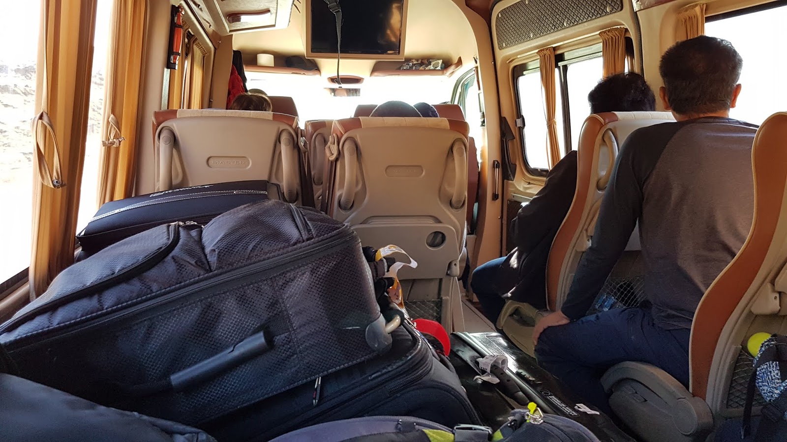
By 8:30 am we checked out and were ready to board the van for our journey to Georgia/Armenia border to cross to Armenia. We had to remove four unoccupied seats in the van to accommodate our bulky luggage. In Akhalkaki, a small town on the way, we stopped for a brief comfort break and photo opportunity.

(Still comfortable with limited luggage space)
(Scenic view along the route)
(The roads on the hilly terrain)
(A short break on the mountain road)
(An old fort on the mountain)

The Ninotsminda/Bavra Border was about 100 km from Akhalsikhe but it took us about three hours to reach there because of bad road conditions. This is not the most popular route. Border clearance was smooth at the Georgian side. On the Armenian border there was a requirement for Visa-on-Arrival for Armenian Dram 3,000 per person. Custom clearance was hassle-free. For less than an hour we cleared border formalities and entered Armenia safely.

(Small villages by the lake)
(Horse riding on the vast plain)
(A small border town)
(Georgia/Armenia Border Crossing)
(Our visa on arrival)

Republic of Armenia is a country in the South Caucasus region of Eurasia. Located in West Asia on the Armenian Highlands, it is bordered by Turkey to the west, Georgia to the north, the de facto independent Republic of Artsakh (Nargono Karabakh) and Azerbaijan to the east, and Iran and Azerbaijan's exclave of Nakhchivan to the south.

(Serene beautiful view of the lake at the border
(Having a picnic by the road side)

After border clearance, we headed to Gyumri in Shirak district. Gyumri is 72 km from the border. This second largest town in Armenia was conquered by the Muslim army of Oguz Turk in the 14th Century.

In the van, we had a light lunch of egg-sandwich which Anna had packed for us.

(Entering the town of Gyumri)
(Gyumri City Centre)
(Exchanging some foreign currencies at a bank)

We arrived in Gyumri late afternoon and drove direct to Converse Bank to exchange some local currency. Next to a famous Cherkhezi Dzor Fish Restaurant for lunch of baked trout and sturgeon. While waiting for our meals, we performed our prayers.

(Admiring the tulips at the fish farm)
(Spring is Tulips flowering season)
(Varieties of trouts and sturgeons in the pond)
(A popular fish restaurant in town)
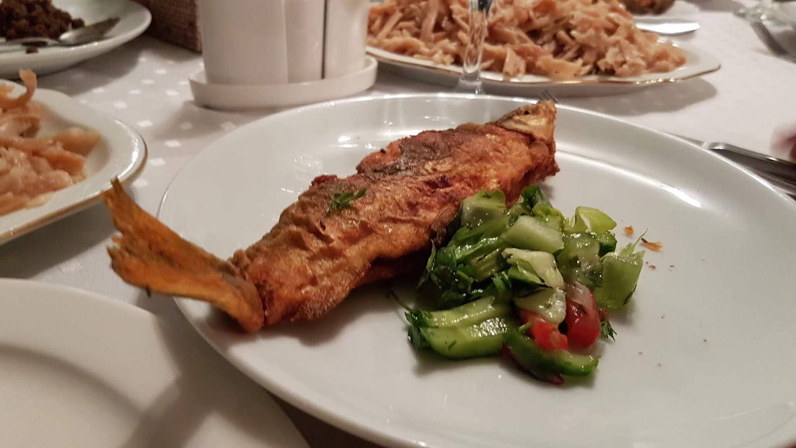
(A filling late lunch of baked trouts)
(Many fish ponds in the spacious compound)
(Pony riding is available too)

Most of the streets in Gyumri city center were under massive road constructions and some were converted into walking street. We parked our van and had to walk a distance to the Vardanants Square to visit the attractions.

(Massive road works in town)
(The Pedestrian Walk leading to the square)

Vardanants Square is the large central town square in Gyumri. The rectangular shape square was known as the ‘May Uprising Square’ named after the failed Bolshevik uprising against the Dashnak government of the First Republic of Armenia in May 1920. The square is decorated with several fountains with a memorial to the Battle of Avarayr at the central part. The memorial includes a group of historic Armenian figures who led the Armenian army's campaign against Sassanid Persia. The equestrian statue of Vartan Mamikonian is erected at the centre of the memorial.

(The water fountain was under repair)
(Church of the Holy Saviour)
(Memorial to the Avarayr Battle)
(The City Hall)
(Cathedral of the Holy Mother of God)

We skipped visiting Hovhannes Shiraz Museum because of time limitation. The Museum was a house of Gyumri born outstanding Armenian poet. His first work called ‘Beginning of Spring’ was published in 1935. Novelist Atrpet gave the talented poet the epithet ‘Shiraz’, because the poems have the smell of roses, fresh and covered with dew, like the roses of Shiraz.

(The 'October' Cinema Hall)
(An Art Gallery on the Walking Street)

Later we visited Serv Berd or the Black Fortress. It was already late and the entrance gate was closed. We were lucky that the caretaker to the fortress allowed us to enter the compound. We were given a guided tour of the museum situated on the lower ground of the fort. The Black Fortress is an abandoned Russian imperial fortress which lies 8 km from the Turkish border. It was built in response to the Russo-Turkish War of 1828 –1829. It is one of the national cultural heritage monument in Armenia.

(Mother of Armenia Statue)
(The Mother of Armenia and the Black Fortress)
(The front facade of Serv Berd)
The main entrance into the Black Fortress)
(Impressive stained glass door)
(The central auditorium in the fort)
(The circular viewing gallery)
(Exhibitions in the underground museum)
(Ancient well in the heart of the fortress)
(The well is still functioning)
(With the Museum curator)
(The world globe against the sun)

The distance from Gyumri to Yerevan is about 122 km and it took us more than two hours to reach our hotel in Yerevan. On the way, our van was stopped by a police car because of speeding and the driver had to pay coffee money of USD20 to the police.

(Panoramic view of Gyumri)
(The winding trunk road from Gyumri to Yerevan)

We arrived at our hotel around 8:30 pm. There was a mass protesters against their newly elected Prime Minister for a couple of days now and the roads in town were mostly congested. As the hotel restaurant was already closed we decided to have vegetarian pizza dinner at a nearby restaurant.

Diana, the representatives from the local travel agent came to meet us at the Pizza Restaurant to discuss the itineraries for the next few days in Yerevan.


05 Caucasus: Yerevan/Koyayk/Lake Sevan, Armenia

"We meet people for a specific reason. They're either a blessing or a lesson..."

(The Temple of Garni)

Day 05: 19 April 2018 (Thursday)
Route: Yerevan/ Kotayk Province/ Lake Sevan 
Hotel: Hotel Olympia Yerevan, Armenia 


This morning there was a commotion in the dining room while we were having our breakfast. The front desk officer was not pleased for our group to have breakfast early. In this hotel, breakfast was normally served after 8.30 am.

(Very early breakfast in the hotel)
(Magnificent view of Mt Ararat from our hotel room)

The van picked us up around 9.00 am. We travelled to Kotayk district and visited the attractions there. Our first stop was at Charent's Arch Viewpoint. The arch was erected in 1957 and named in honour of Armenian poet Eghishe Charents, who wrote the best poem dedicated to Armenia.

(Mt Ararat viewed from Charent's Arch)
(A strategic viewpoint)
(A beautiful patriotic song dedicated to Armenia)

From the Arch viewpoint, we had a good panoramic view of Mt. Ararat. There were locals singing the mountain song and selling their CDs and souvenirs. We watched a group of Japanese doing some vegetation study around the area too.

(A couple shot and Japanese scientists at work)
(Another beautiful view of Mt Ararat)

Mount Ararat is a snow-capped and dormant volcano in the extreme east of Turkey. It consists of two major volcanic cones: Greater Ararat, the highest peak in Turkey and the Armenian plateau with an elevation of 5,137 m and Little Ararat, with an elevation of 3,896 m. The Ararat massif is about 35 km wide at ground base.

(A panoramic view of Ararat Mountain and plain)
(Local handicrafts and souvenirs)

Despite the scholarly consensus that the mountains of Ararat of the Book of Genesis do not refer to specifically Mt. Ararat, it has been widely accepted in Christianity as the resting place of Noah's Ark. It is the principal national symbol of Armenia and has been considered a sacred mountain by Armenians. Along with Noah's Ark, it is depicted on the coat of arms of Armenia.

(A ticket entrance to Garni Monument)
(The history of Garni, a temple or a tomb?)
(Walking with purpose to the monument)
From Charent's Arch we headed towards Temple of Garni, the only standing Greco-Roman colonnaded building in Armenia and the former Soviet Union. This Ionic temple located in the village of Garni is the best-known structure and symbol of pre-Christian Armenia. The structure was probably built by King Tiridates I as a temple to the sun god Mihr. According to some scholars it was not a temple but a tomb and thus survived the universal destruction of pagan structures. It collapsed in a 1679 earthquake and reconstructed again. After the visit, we bought some souvenirs, dry nuts and fruits.

(The majestic monument against the mountain range)
(Huge columns, some are reconstructed)
(The monument survived a major earthquake)
(The remaining walls around the monument)
(The bath chambers and pool)
(Ancient artifacts on display)

We travelled a short distance to Geghard, a medieval monastery being partially carved out of the adjacent mountain, surrounded by cliffs. It is listed as a UNESCO World Heritage Site. The monastery complex was founded in the 4th century by Gregory the Illuminator at the site of a sacred spring inside a cave. Thus been originally named Ayrivank, meaning ‘the Monastery of the Cave’. The name commonly used Geghardavank, meaning ‘the Monastery of the Spear’, originates from the spear which had wounded Jesus at the Crucifixion, allegedly brought to Armenia by Apostle Jude, and stored amongst many other relics. Now it is displayed in the Echmiadzin treasury.

(Khachkars placed along the path)
(Armenian Cross-stones carved on the rocks)
(The entrance to the medieval monastery)
(Contains churches and tombs)
(The main prayer hall of the church)
(The smaller rooms in the monastery)
(The entrance cut into solid rocks)
(The burial chamber in the cave monastery)
(One of the many large columns)
(Landscaped against the Upper Azat Valley)
(The Kathoghikè main church is in the classic Armenian form)
(Basking in the warm sunny weather)
(The Matagh, a sacrifice site next to the bridge)

The spectacular towering cliffs surrounding the monastery are part of the Azat River gorge, and are included together with the monastery in the World Heritage Site listing. Some of the churches within the monastery complex are entirely dug out of the cliff rocks, while others are elaborate structures, with both architecturally complex walled sections and rooms deep inside the cliff. The numerous engraved and free-standing khachkars is a unique sight.

(Towering cliffs at the entrance to the Azat Valley)
(Caves housing monastic cells built by monks)
(A landscape of great natural beauty)

After visiting Geghard we headed to Lake Sevan, the largest lake in Armenia and the Caucasus region. It is one of the largest freshwater high-altitude alpine lakes in Eurasia. The lake is at an altitude of 1,900 m above sea level. The lake itself is 1,242 sq km and is fed by 28 rivers and streams. Only 10% of the incoming water is drained by the Hrazdan River, while the remaining 90% evaporates. The lake provides some 90% of the fish and 80% of the crayfish catch of Armenia. Sevan has significant economic, cultural, and recreational value.

(The monastery complex)
(Lake Sevan is a popular tourist attraction)

Its only island, now a peninsula, is home to a medieval monastery. We had to climb more than 300 steps to visit the monastery complex on top of the hill where we had a breath-taking view of Lake Savan and the surrounding area.
(Fried trout for dinner again)

(A beautiful view of Lake Sevan)
(The lake is 1900 m above sea level)
(Climbing the uneven steps to the top)

Hayravank is a 9th to 12th century Armenian monastery located just northeast of the village of Hayravank along the southwest shores of Lake Sevan in the Gegharkunik Province. The monastic complex consists of a church, chapel, and gavit.

Surrounding the monastery are numerous khachkars and gravestones that are part of a small cemetery. To the northwest a short distance from the site, are the remains of Bronze Age through medieval fortification walls and foundations of a settlement. A polished black vessel of the Early Bronze Age was discovered during archaeological excavations in the area. Weapons of metal and stone, tools, clay idols, numerous vessels, fireplaces and two tombs, all from the Iron Age were discovered in the vicinity as well.

(Still a long way to climb)
(The church and chapel with a good lake view)
(Initially built at the southern shore of a small island)
(Armenian cross-stones along the path)
(Lake Sevan view from the highest point)
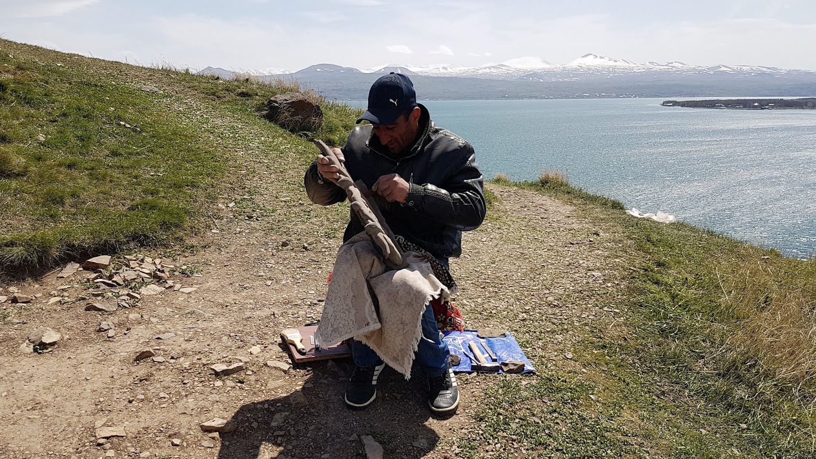
(Making stone engravings and handicrafts)
(The miniature stone sculptures for souvenir)

Lunch was at a posh Collette Restaurant by the lake. We dined in a private room and was served fish from the lake, potatoes and salad.

(A popular fish restaurant by Lake Sevan)
(Strategically located by the lake)
(Dining under the rows of tents by the lake side)
(Beware of seagulls looking for food)
(Enjoying our lunch in a private dining room)
(Best baked local fishes of Lake Sevan)

In the evening we travelled back to Yerevan and stayed the night there. Dinner was served in the hotel restaurant.

(A panoramic view of Yerevan)